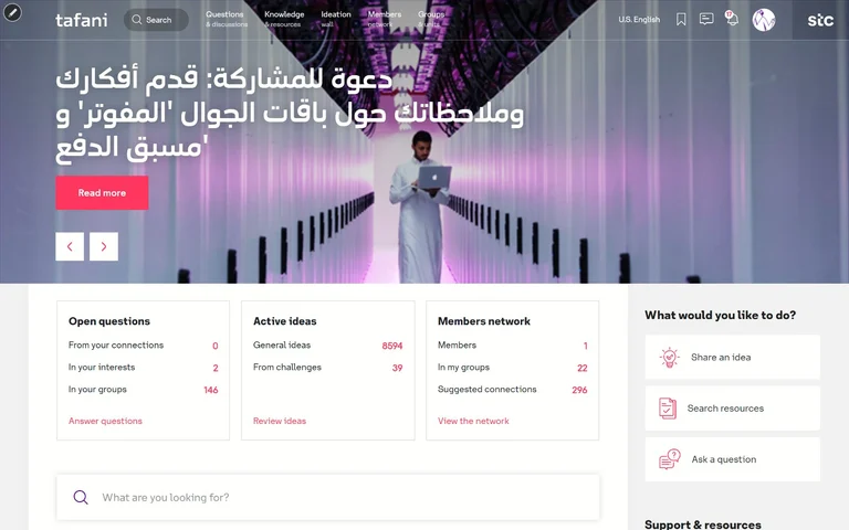
STC: Tafani, a Verint Community intranet where its people ask, share and put forward ideas
4 Roads built Tafani, STC's intranet on Verint Community: questions and discussions, ideation challenges, surveys and knowledge, on 54 custom widgets.


With an innovation grant, 4 Roads and LNER built phone wayfinding guiding visually impaired travellers through Newcastle Station, where GPS can't reach.
The brief
For visually impaired travellers, a busy station is not an inconvenience but a barrier to travelling alone, and many people avoid public transport for fear of getting lost in one. GPS, which guides people outdoors, does not work inside.
LNER, with an innovation grant, set out to research wayfinding that does, and 4 Roads partnered with it to research and develop it.

The map
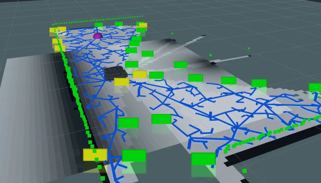
4 Roads made a detailed 3D map of Newcastle Station from over 600 high-resolution photographs, and trained its AI on those photographs alone, without extensive modelling.
Knowing where you are
SLAM (simultaneous localisation and mapping), the technology behind augmented reality, uses a phone's own sensors to track where it is and place it on the 3D map at every step. Vision AI recognises landmarks to work out where a journey starts.
There is no special equipment, and the phone does not have to be held up in front: people walk as they normally would.

Safety
Audio and haptic feedback warn travellers of obstacles and hazards, and geofencing alerts them when they are near stairs or a platform edge.

Results
At Newcastle Station, a first working version proved that SLAM-based wayfinding works. It was delivered on a tight timeline and a modest budget, through highly manual image pinning and extensive testing in the station itself.
LNER then took the work forward itself. The map improves with crowdsourced feedback, and the approach could extend to other stations and public spaces.

A 3D map of Newcastle Station from 600 photographs, and a way through it by sound and touch
Tell us what your customers are trying to do, and we will start from there.

Speak to Rob (we can't promise he won't be on his bike)
4 Roads built Tafani, STC's intranet on Verint Community: questions and discussions, ideation challenges, surveys and knowledge, on 54 custom widgets.
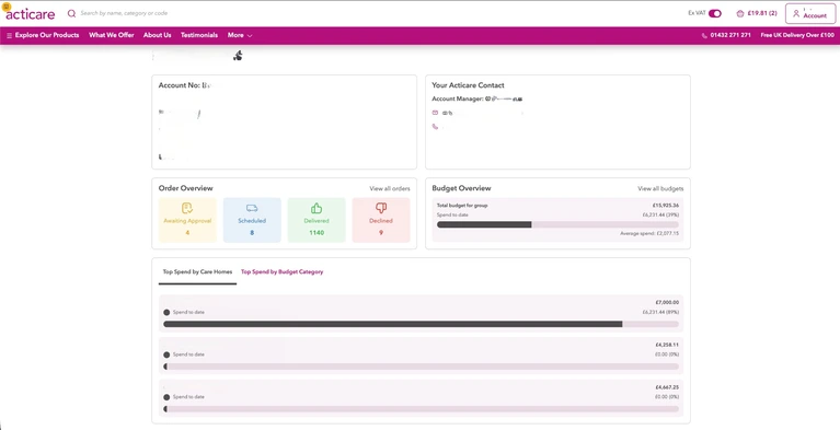
4 Roads replaced Acticare's ecommerce platform with a B2B system linked to OGL and MaxOptra: budgets, approvals, preferred products and self-service.