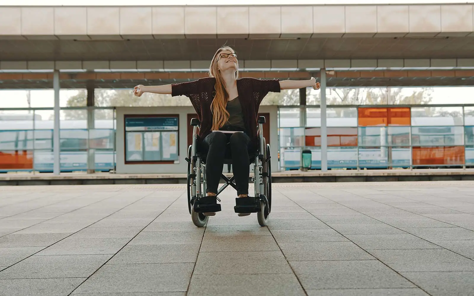
SLAM, simultaneous localisation and mapping, lets a phone map an indoor space and know where it is within it, so it can guide a disabled traveller through a busy station or airport, with no need for mobile data or wi-fi. With the building mapped in advance, people can plan their route at home and travel with more confidence and less anxiety.
Why is travel anxiety such a problem?
For disabled people, particularly those who are visually impaired or have mobility issues, unfamiliar and busy indoor spaces can be challenging and overwhelming. That makes it hard to travel independently. When everyday activities get harder, quality of life suffers and people become isolated.
How does SLAM work?
SLAM uses sensors, such as a phone's camera or lidar, to build a detailed map of a space while pinpointing where the device is on that map. The system can then guide a person accurately through an indoor space.
A visually impaired traveller, for example, could use it to learn the layout of a train station, including where the stairs, lifts and toilets are. It can show them the way visually, like Google Maps, or in an accessible form such as audio cues or haptic feedback, so they find their way with more confidence and independence.
Why map a building in advance?
So that travellers don't have to. A train station or airport maps its building once; a traveller's device then only has to locate itself from the features it recognises, and guide them as they move.
A mapped building can also be explored before the journey, in 3D, with the planned route. Getting to know a place at home, and whether it has ramps or lifts, reduces travel anxiety.
Maps can also be made for people with different needs, recording the slope of a path, the width of a turnstile or the height of a counter, for people who use a wheelchair or a walker.

How does AI make it reliable?
A traveller dealing with anxiety needs a tool that is reliable and accurate, and can detect hazards on the route and adjust to them. AI makes sense of what the device's sensors gather:
- Computer vision detects and recognises objects such as walls, doors and obstacles.
- Machine learning learns patterns in the data and makes predictions about the device's surroundings.
- Deep learning recognises more complex patterns and objects, such as furniture, people and pets.
With AI, a device using SLAM can avoid obstacles, find the shortest path when a route changes, and identify and track objects of interest.
Is SLAM ready?
Not fully. SLAM has been used in robotics for decades, but in 2023 its use for accessibility was at an early stage, and more pilot projects were needed to turn its significant potential into practical applications for real places. How 4 Roads and LNER proved SLAM wayfinding at Newcastle Station.
For indoor navigation generally, SLAM's future is bright. As autonomous vehicles and consumer robots reach the market, it will keep getting more accurate, reliable and responsive, and be adopted more widely. How 4 Roads builds apps and augmented reality.
Updated on 19 September 2026.